Min karta
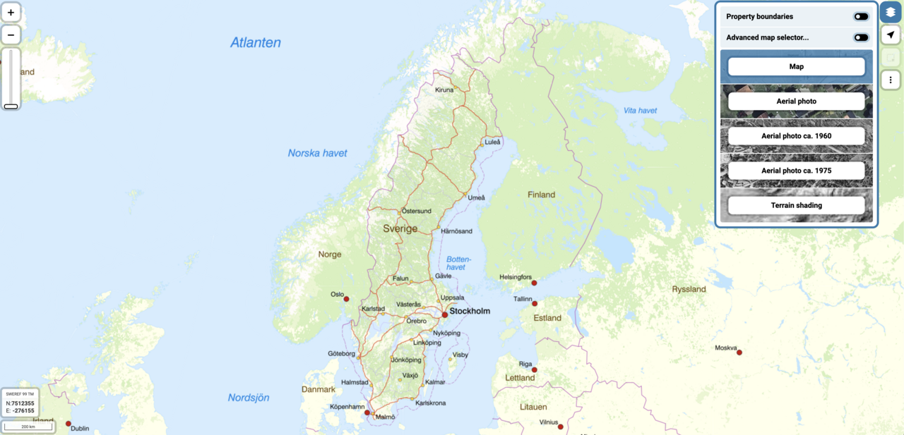
"My map" by the Swedish Mapping, Cadastral and Land Registration Authority

Screenshot.png
Map based tool provided by the Swedish Mapping, Cadastral and Land Registration Authority (Lantmäteriet). In this tool you can search for properties by name, view the latest official maps and satellite images as well as historical maps and aerial photos.
Kind of License: Not stated/unknown
Resource mostly in Swedish!
Access full content
Topic
- Planning & Upscaling
Countries
- Sweden
Spatial scale
- Plot/Stand

