European remote sensing system
FORWARDS Project -EIP-AGRI Practice Abstract

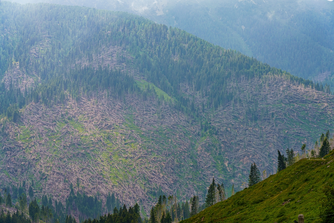
Forest area in northern Italy after Storm Vaia. Photo credit: Adobe stock
Healthy forests are essential to rural livelihoods, biodiversity, and the bioeconomy. However, they are under increasing threat from storms, droughts, pests, diseases, and fires. These dangers often develop quietly and, if not identified early, can cause significant economic and ecological damage. The FORWARDS project is developing an innovative sensing system that can quickly identify and map forest vulnerabilities and risks across Europe.
Using satellite imagery combined with advanced analytical methods, the FORWARDS project generates comprehensive maps that reveal where forests are most at risk. These maps allow managers to spot emerging problems, such as drought impacts, disturbances, or pest outbreaks, more quickly and affordably than traditional field inspections. With this information, foresters can prioritise actions, reduce potential losses, and plan management more efficiently. The tools also support decisions from the local to the regional scale, making them valuable for both daily operations and long-term strategies. Although digitalisation facilitates wider use, the adoption of these tools requires internet access and basic digital skills. Field checks remain important to refine local decisions, and more training may be needed to help practitioners fully benefit from the technology. Future developments aim to improve map detail, integrate predictive data, and provide user-friendly platforms. Overall, timely and accessible information can significantly strengthen forest resilience and reduce economic and ecological risks.
Kind of License: Not stated/unknown
- Monitoring & Projecting
- Planning & Upscaling
- Planners & Implementers
- Policy Actors
- None/Non-relevant

